Search Results Header
Search Constraints
Showing results for: Format maps Remove constraint Format: maps Borough Brooklyn Remove constraint Borough: Brooklyn City New York Remove constraint City: New YorkSearch Results

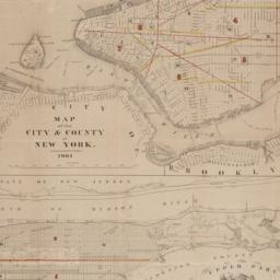
49. Map of the Brooklyn Elevated Railroad
maps
- Published: [publisher not identified]: New York?. [1885?]
- Format: maps
- Catalog Record: check availability
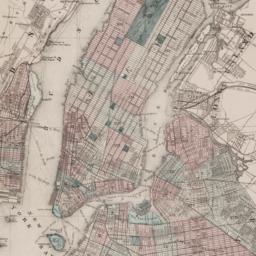
50. Map of the cities of New York, Brooklyn, Long Island City, Jersey City & Hoboken
Dripps, M
maps
- Name: Dripps, M
- Published: M. Dripps: New York. ca. 1870]
- Format: maps
- Catalog Record: check availability
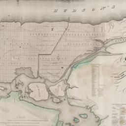
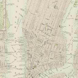
51. Map of the city & county of New York
Hayward, George, approximately 1800-
maps
- Name: Hayward, George, approximately 1800-
- Published: Engraved for D.T. Valentine's manual for 1862, by Geo. Hayward: New York (N.Y.). [1861]
- Format: maps
- Online: click here for full-text
- Catalog Record: check availability
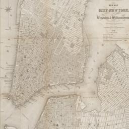
52. A map of the city and county of New York : with the adjacent cities of Brooklyn and Jersey City, and the village of Williamsburg : with a street directory of the city of New York
Thayer, Bridgman & Fanning
maps
- Name: Thayer, Bridgman & Fanning
- Published: Thayer, Bridgman & Fanning: New York. 1853
- Format: maps
- Catalog Record: check availability
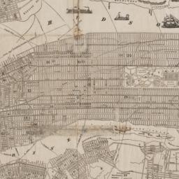
53. Map of the city and county of New York : with the adjacent country
Burr, David H., 1803-1875
maps
- Name: Burr, David H., 1803-1875
- Published: s.n: New York. 1829]
- Format: maps
- Online: click here for full-text
- Catalog Record: check availability

54. Map of the City of New York
W.C. Rogers & Co
maps
- Name: W.C. Rogers & Co
- Published: s.n.]: New York. 1868
- Format: maps
- Online: click here for full-text
- Catalog Record: check availability
55. Map of the city of New York : with the adjacent cities of Brooklyn & Jersey City & the village of Williamsburg
Phelps, Humphrey, active 19th century
maps
- Name: Phelps, Humphrey, active 19th century
- Published: H. Phelps: New York. 1845
- Format: maps
- Catalog Record: check availability
56. Map of the City of New York with the adjacent cities of Brooklyn & Jersey City & the Village of Williamsburg
Phelps, Humphrey, active 19th century
maps
- Name: Phelps, Humphrey, active 19th century
- Published: H. Phelps: New York. 1844
- Format: maps
- Catalog Record: check availability
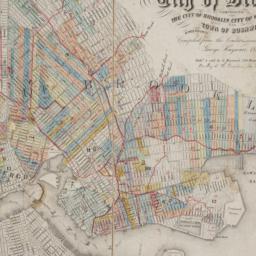
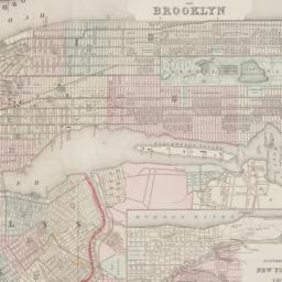
57. Map of the consolidated City of Brooklyn : comprising the City of Brooklyn, City of Williamsburgh and Town of Bushwick, Kings County, Long Island
Hayward, George, approximately 1800-
maps
- Name: Hayward, George, approximately 1800-
- Published: G. Hayward: New York. 1854
- Format: maps
- Online: click here for full-text
- Catalog Record: check availability
58. Map of the subway system of New York
Voorhies, Stephen J
maps
- Name: Voorhies, Stephen J
- Published: Union Dime Savings Bank: New York. 1940
- Format: maps
- Catalog Record: check availability
59. New Bond Paper Map of New York City
Matthews-Northrup Company
maps
- Name: Matthews-Northrup Company
- Published: Adolph Wittemann: New York. c1885
- Format: maps
- Catalog Record: check availability
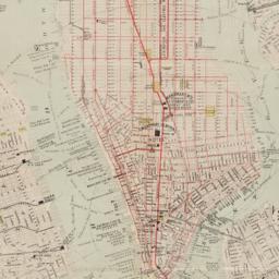
60. New map of New York City : from the latest surveys showing all the ferries and steamship docks, elevated, cable, and cross town car lines
Brooks Bank Note Co
maps
- Name: Brooks Bank Note Co
- Published: Broadway Central Hotel, Tilly Haynes, proprietor: New York. [189-?]
- Format: maps
- Online: click here for full-text
- Catalog Record: check availability
61. New map of the city of New York with part of Brooklyn & Williamsburg
Smith, J. Calvin
maps
- Name: Smith, J. Calvin
- Published: Published by H.S. Tanner map selr., 237 Broadway: New York. 1846
- Format: maps
- Online: click here for full-text
- Catalog Record: check availability
62. New York
maps
- Published: Letts, Son & Co: London. [1885?]
- Format: maps
- Online: click here for full-text
- Catalog Record: check availability
63. New York and Brooklyn
maps
- Published: s.n.]: S.l. c1867
- Format: maps
- Online: click here for full-text
- Catalog Record: check availability
64. New York and its surroundings : map of the metropolis from the Battery to One Hundred and Eighth Street, and parts of Brooklyn, Williamsburg, Greenpoint, Jersey City, and Hoboken
maps
- Published: Harper's Weekly: New York?. 1873
- Format: maps
- Catalog Record: check availability
65. New York City
Asher & Adams
maps
- Name: Asher & Adams
- Published: Asher & Adams: New York. 1871]
- Format: maps
- Online: click here for full-text
- Catalog Record: check availability
66. New York, city (lower part)
maps
- Published: s.n: S.l. 1889?]
- Format: maps
- Online: click here for full-text
- Catalog Record: check availability
67. New York City, Manhattan, Brooklyn, Bronx, Queens & Staten Island map
Rand McNally and Company
maps
- Name: Rand McNally and Company
- Published: Rand McNally & Co: Chicago. [1982?]
- Format: maps
- Catalog Record: check availability
68. New York city map
Phelps, Humphrey, active 19th century
maps
- Name: Phelps, Humphrey, active 19th century
- Published: H. Phelps: New York. c1857
- Format: maps
- Online: click here for full-text
- Catalog Record: check availability
69. New York city map
Miller, James
maps
- Name: Miller, James
- Published: J. Miller: New York. [1857?]
- Format: maps
- Catalog Record: check availability
70. [New York, city map of New York and five boroughs]
Falk-Verlag
maps
- Name: Falk-Verlag
- Published: Falk-Plan: New York. [1969], c1968
- Format: maps
- Catalog Record: check availability
71. New York, Downtown, Manhattan-Jersey City-Brooklyn
Edward S. Gordon Company
maps
- Name: Edward S. Gordon Company
- Published: Edward S. Gordon Co: New York, NY. [1992?]
- Format: maps
- Catalog Record: check availability

72. New York island & parts adjacent
Conder, Thomas, 1746 or 1747-1831
maps
- Name: Conder, Thomas, 1746 or 1747-1831
- Published: Printed for the author: London. 1788]
- Format: maps
- Online: click here for full-text
- Catalog Record: check availability