Search Results Header
Search Constraints
Showing results for: "New York (N.Y.)" Remove constraint "New York (N.Y.)" Format maps Remove constraint Format: maps Neighborhood Battery Park City-Lower Manhattan Remove constraint Neighborhood: Battery Park City-Lower Manhattan City New York Remove constraint City: New YorkSearch Results

1. Hagstrom's New York City : sites to see ... select walking tours to take
Hagstrom Map Company
maps
- Name: Hagstrom Map Company
- Published: Hagstrom Co: New York City, N.Y. [between 1970 and 1980?]
- Format: maps
- Catalog Record: check availability
2. Downtown New York with notes on local history and architectural styles
Seymour, Catryna Ten Eyck
maps
- Name: Seymour, Catryna Ten Eyck
- Published: The Seymour: New York, N.Y. c1970
- Format: maps
- Catalog Record: check availability
3. New York City--5 maps in 1 : Manhattan streets, Midtown, Downtown, Greenwich Village, Manhattan subways
Hagstrom Map Company
maps
- Name: Hagstrom Map Company
- Published: Hagstrom Map Co: Maspeth, NY. c1995
- Format: maps
- Catalog Record: check availability

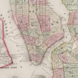
4. Johnson's New York and Brooklyn
Johnson, A. J. 1827-1884
maps
- Name: Johnson, A. J. 1827-1884
- Published: A.J. Johnson: New York. c1866
- Format: maps
- Online: click here for full-text
- Catalog Record: check availability
5. Plan of New York &c
Mitchell, S. Augustus, Jr
maps
- Name: Mitchell, S. Augustus, Jr
- Published: S. Augustus Mitchell, Jr: Philadelphia. c1866
- Format: maps
- Online: click here for full-text
- Catalog Record: check availability
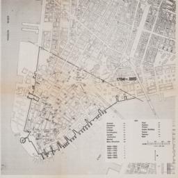
6. This plan of the city of New York within the Palisades which were erected in the year 1745 was made for the purpose of shewing the progress and extent of the Great Fire which happened in the year 1776, the number of houses that was consumed, and also the Fire of 1778
maps
- Published: Common Council?: N.Y.?. 1863]
- Format: maps
- Online: click here for full-text
- Catalog Record: check availability
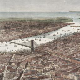
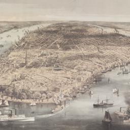
7. Bird's-eye view of the southern end of New York and Brooklyn, showing the projected suspension-bridge over the East River, from the western terminus in Printing-House Square, New York
Davis, Theodore R
maps
- Name: Davis, Theodore R
- Published: New York. 1870]
- Format: maps
- Online: click here for full-text
- Catalog Record: check availability
8. The New York insider's Midhattan map with exclusive three dimensional effects
Siegel, Norman L
maps
- Name: Siegel, Norman L
- Published: Able David Victor: New York. c1975
- Format: maps
- Catalog Record: check availability
9. Downtown
Williams Real Estate Company
maps
- Name: Williams Real Estate Company
- Published: Williams: New York?. c1984
- Format: maps
- Catalog Record: check availability
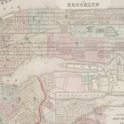
10. New York and Brooklyn
maps
- Published: s.n.]: S.l. c1867
- Format: maps
- Online: click here for full-text
- Catalog Record: check availability
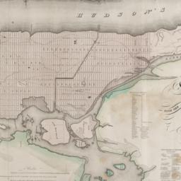
11. Map of the city and county of New York : with the adjacent country
Burr, David H., 1803-1875
maps
- Name: Burr, David H., 1803-1875
- Published: s.n: New York. 1829]
- Format: maps
- Online: click here for full-text
- Catalog Record: check availability
12. Downtown Manhattan office building map
Jones, Lang, Wootton
maps
- Name: Jones, Lang, Wootton
- Published: Jones, Lang, Wootton: New York, N.Y. c1991
- Format: maps
- Catalog Record: check availability
13. Plan of New York &c
Mitchell, S. Augustus, Jr
maps
- Name: Mitchell, S. Augustus, Jr
- Published: S. Augustus Mitchell, Jr: Philadelphia. 1860
- Format: maps
- Online: click here for full-text
- Catalog Record: check availability
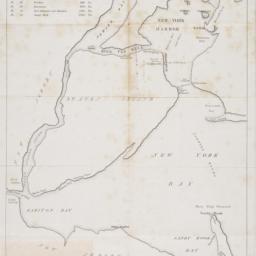
14. [Map of New York Harbor, New York Bay, and Staten Island]
maps
- Published: s.n: New York?. 18--?]
- Format: maps
- Online: click here for full-text
- Catalog Record: check availability
15. 1653-1664 Amsterdam in New Netherland the city of the Dutch West India Company
MacCoun, Townsend, 1845-1932
maps
- Name: MacCoun, Townsend, 1845-1932
- Published: Townsend MacCoun: New York. c1909
- Format: maps
- Online: click here for full-text
- Catalog Record: check availability
16. City of New York
Parsons, Charles, 1821-1910
maps
- Name: Parsons, Charles, 1821-1910
- Published: N. Currier: New York. 1856
- Format: maps
- Online: click here for full-text
- Catalog Record: check availability
17. A new & accurate plan of the City of New York in the State of New York in North America, published in 1797
New York (N.Y.). Common Council
maps
- Name: New York (N.Y.). Common Council
- Published: New York Common Council: New York. 1853]
- Format: maps
- Catalog Record: check availability
18. Map and guide to lower Manhattan : from shoreline to skyline
Port Authority of New York and New Jersey
maps
- Name: Port Authority of New York and New Jersey
- Published: Port Authority of NY & NJ: New York?. c1988
- Format: maps
- Catalog Record: check availability
19. New-York, April 1852 drawn on an enlarged scale from map of district burnt by great fire of 16th Dec. 1835, as published in the Journal of Commerce Dec. 18th, 1835
maps
- Published: s.n: New York?. 1852?]
- Format: maps
- Online: click here for full-text
- Catalog Record: check availability
20. New York, 1730 the English colonial city
MacCoun, Townsend, 1845-1932
maps
- Name: MacCoun, Townsend, 1845-1932
- Published: Townsend MacCoun: New York. 1909
- Format: maps
- Online: click here for full-text
- Catalog Record: check availability
21. City of Manhattan or New York
Bellin, Jacques Nicolas, 1703-1772
maps
- Name: Bellin, Jacques Nicolas, 1703-1772
- Published: Common Council: New York. 1861]
- Format: maps
- Online: click here for full-text
- Catalog Record: check availability
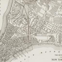
22. The Ratzer map of New York City, 1767
maps
- Published: Longmans, Green & Co: New York?. 18--?]
- Format: maps
- Online: click here for full-text
- Catalog Record: check availability
23. City and county of New York
Bien, Joseph R
maps
- Name: Bien, Joseph R
- Published: Julius Bien & Co: New York. 1891]
- Format: maps
- Online: click here for full-text
- Catalog Record: check availability

24. A plan of the north east environs of the city of New-York performed by order of His Excellency the Earl of Loudon & ca. & ca
Holland, Samuel, 1728-1801
maps
- Name: Holland, Samuel, 1728-1801
- Published: George Hayward: New York. [1859]
- Format: maps
- Online: click here for full-text
- Catalog Record: check availability
25. Guide map
Friends of the Heritage Trail
maps
- Name: Friends of the Heritage Trail
- Published: Friends of the Heritage Trail: N[ew] Y[ork]. [1978?]
- Format: maps
- Catalog Record: check availability
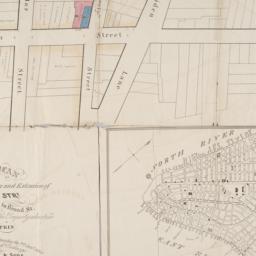
26. [Map of Lower Manhattan, Pine Street to Rosevelt St. between South Street and William Street]
maps
- Published: s.n: New York?. 1930?]
- Format: maps
- Catalog Record: check availability
27. Map & plan of the proposed continuation of the widening & extension of William Street : from Maiden Lane to Chatham Street & the new line of said strt. as adopted between Wall St. & Maiden Lane, showing the situation of the property advertised by John R. Pitkin (No. 5 Broad Strt.)
maps
- Published: [publisher not identified]: N.Y.?. [183-?
- Format: maps
- Online: click here for full-text
- Catalog Record: check availability
28. New Yorke, 1695
Miller, John, 1666-1724
maps
- Name: Miller, John, 1666-1724
- Published: Lith. G. Hayward: New York. [1852]
- Format: maps
- Online: click here for full-text
- Catalog Record: check availability
29. Nieuw Amsterdam the Dutch Settlement in the New World that became New York following the plan sent October 6, 1660 by Governor Peter Stuyvesant to the West india Company in Holland with additions concerning persons, places and events until the year 1699
maps
- Published: Manning Exton: South Port, Conn. c1965
- Format: maps
- Catalog Record: check availability
30. A plan of the city of New-York
Holland, Samuel, 1728-1801
maps
- Name: Holland, Samuel, 1728-1801
- Published: D.T. Valentine: New York, N.Y. 1863]
- Format: maps
- Online: click here for full-text
- Catalog Record: check availability
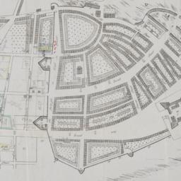
31. [Map of the area in Lower Manhattan bound by Pine Street, South Street, Wall Street and Front Street]
maps
- Published: s.n: New York?. 1895?]
- Format: maps
- Online: click here for full-text
- Catalog Record: check availability
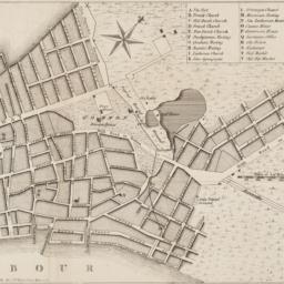
![The Nicolls [sic] map, 1664...](https://derivativo-1.library.columbia.edu/iiif/2/cul:d7wm37pvtw/featured/!256,256/0/native.jpg)
32. The Nicolls [sic] map, 1664-1668
Nicholls, Sutton
maps
- Name: Nicholls, Sutton
- Published: Lith. by G. Hayward for D.T. Valentine's Manual: N.Y., N.Y. 1863
- Format: maps
- Online: click here for full-text
- Catalog Record: check availability
33. Plan of the city of New York
maps
- Published: Andrew B. Graham, Co: Washington, D.C. 1857
- Format: maps
- Online: click here for full-text
- Catalog Record: check availability
34. A plan of the city of New York from an actual survey
Lyne, James
maps
- Name: Lyne, James
- Published: Charles Magnus: New York?. [18--?]
- Format: maps
- Online: click here for full-text
- Catalog Record: check availability
35. [Broad Street to Water Street south of Wall Street]
maps
- Published: s.n: New York?. 18--?]
- Format: maps
- Online: click here for full-text
- Catalog Record: check availability
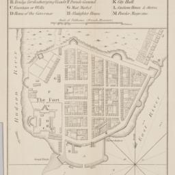
36. A plan of the city of New-York & its environs : to Greenwich, on the North or Hudsons River, and to Crown Point, on the East or Sound River, shewing the several streets, publick buildings, docks, fort & battery, with the true form & course of the commanding grounds, with and without the town
Montrésor, John, 1736-1799
maps
- Name: Montrésor, John, 1736-1799
- Published: Engraved from the original map by John Montresor for D.T. Valentine's Manual for 1855 by G. Hayward: New York, N.Y. [1855]
- Format: maps
- Online: click here for full-text
- Catalog Record: check availability
37. Cushman & Wakefield in Downtown Manhattan
Incentra International, Inc
maps
- Name: Incentra International, Inc
- Published: Cushman & Wakefield: New York. c1986
- Format: maps
- Catalog Record: check availability
38. A plan of the city of New York : reduced from an actual survey
Maerschalck, Francis W., -1776
maps
- Name: Maerschalck, Francis W., -1776
- Published: Lith. of H.R. Robinson for D.T. Valentine's Manual: New York, N.Y. [1850]
- Format: maps
- Online: click here for full-text
- Catalog Record: check availability
39. [Maps of land use in Lower Manhattan from 1609-1900]
maps
- Published: s.n: New York?. 19--]
- Format: maps
- Online: click here for full-text
- Catalog Record: check availability
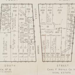
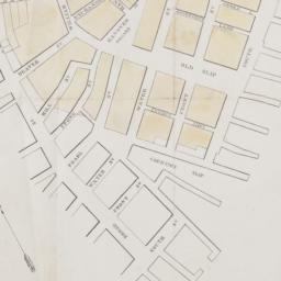
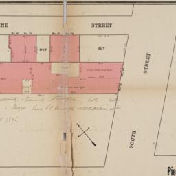
40. [Cadastral map of the area bound by South Street and Front Street between Whitehall Street and Broad Street]
maps
- Published: Chas. F. Noyes Co: New York. 1931?]
- Format: maps
- Online: click here for full-text
- Catalog Record: check availability
Search Other Sources for: "New York (N.Y.)"
Try your search in one of these related resources. (Search results will display in a new window.)
-
Avery Index to Architectural Periodicals
A comprehensive listing of journal articles published worldwide on architecture and design, archaeology, city planning, interior design, landscape architecture, and historic preservation. -
Brooklyn Historical Society Photography Collection
Search for individual photographs. Approximately 5,000 of our images are currently available online, but more images are added regularly. -
Brooklyn Public Library: Historic Brooklyn Photographs
Selection of more than ten thousand historic photographs from the Brooklyn Collection. -
CLIO: Columbia Libraries Catalog
Search for books, articles, journals, online resources and more. -
DLC: Columbia Libraries Digital Collections
A gateway to digital projects and online exhibitions that have been published on the web by Columbia University Libraries/Information Services (CUL/IS). -
Museum of the City of New York
Over 150,000 images and objects from the collections of the Museum of the City of New York.
Note: to come. -
New York Historical Society
Digital images from the library and museum collections. -
NYPL Digital Collections
Provides free and open access to over 800,000 images digitized from the The New York Public Library's vast collections.