Search Results Header
Search Constraints
Showing results for: Format postcards Remove constraint Format: postcards Format ephemera Remove constraint Format: ephemera Format maps Remove constraint Format: maps Neighborhood Battery Park City-Lower Manhattan Remove constraint Neighborhood: Battery Park City-Lower ManhattanSearch Results
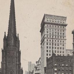
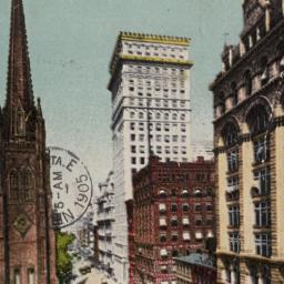
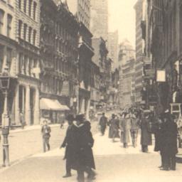
386. Lower Broadway, Trinity Church and American Surety Building, New York.
postcards
- Format: postcards
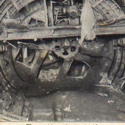
391. The Machinery in the Shield the Hudson and Manhattan Railway Tunnel
postcards
- Format: postcards
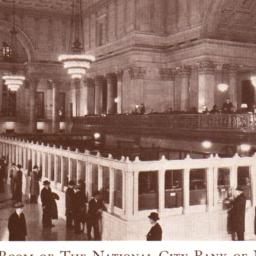
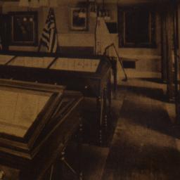
393. Main Banking Room of the National City Bank of New York Head Office:55 Wall Street
postcards
- Format: postcards

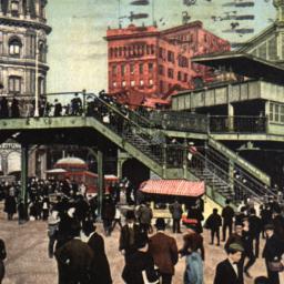
396. Manhattan Entrance to Brooklyn Bridge, New York.
postcards
- Published: Detroit Photographic. Postmark date: 1906
- Format: postcards
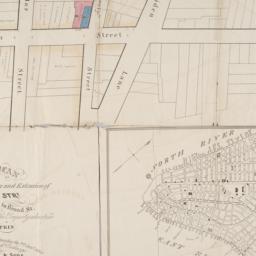
397. Map & plan of the proposed continuation of the widening & extension of William Street : from Maiden Lane to Chatham Street & the new line of said strt. as adopted between Wall St. & Maiden Lane, showing the situation of the property advertised by John R. Pitkin (No. 5 Broad Strt.)
maps
- Published: [publisher not identified]: N.Y.?. [183-?
- Format: maps
- Online: click here for full-text
- Catalog Record: check availability

398. Map and guide to lower Manhattan : from shoreline to skyline
Port Authority of New York and New Jersey
maps
- Name: Port Authority of New York and New Jersey
- Published: Port Authority of NY & NJ: New York?. c1988
- Format: maps
- Catalog Record: check availability
399. [Map of Lower Manhattan, Pine Street to Rosevelt St. between South Street and William Street]
maps
- Published: s.n: New York?. 1930?]
- Format: maps
- Catalog Record: check availability
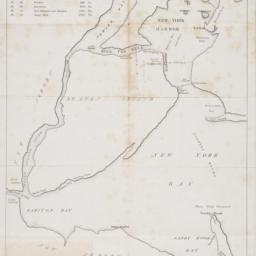
400. [Map of New York Harbor, New York Bay, and Staten Island]
maps
- Published: s.n: New York?. 18--?]
- Format: maps
- Online: click here for full-text
- Catalog Record: check availability

401. [Map of the area in Lower Manhattan bound by Pine Street, South Street, Wall Street and Front Street]
maps
- Published: s.n: New York?. 1895?]
- Format: maps
- Online: click here for full-text
- Catalog Record: check availability

402. Map of the city and county of New York : with the adjacent country
Burr, David H., 1803-1875
maps
- Name: Burr, David H., 1803-1875
- Published: s.n: New York. 1829]
- Format: maps
- Online: click here for full-text
- Catalog Record: check availability
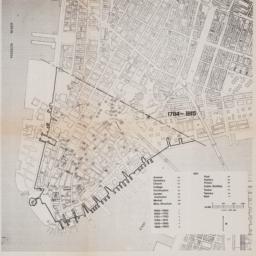
403. [Maps of land use in Lower Manhattan from 1609-1900]
maps
- Published: s.n: New York?. 19--]
- Format: maps
- Online: click here for full-text
- Catalog Record: check availability

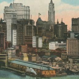
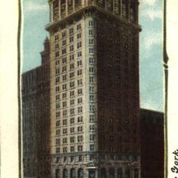
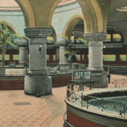
408. National Bank of North America Bldg. Hanover National Bank Bldg. New York
postcards
- Published: Illustrated Postcard Company
- Format: postcards