Search Results Header
Search Constraints
Showing results for: "Ferries New York (State) New York Maps." Remove constraint "Ferries New York (State) New York Maps."Search Results

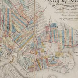
1. City of New York
Burr, David H., 1803-1875
maps
- Name: Burr, David H., 1803-1875
- Published: J.H. Colton & Co: New York. 1839, c1833
- Format: maps
- Catalog Record: check availability

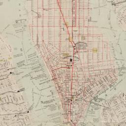
2. Johnson's map of New York and the adjacent cities
Johnson and Ward
maps
- Name: Johnson and Ward
- Published: Johnson and Ward: New York. [1864?]
- Format: maps
- Online: click here for full-text
- Catalog Record: check availability

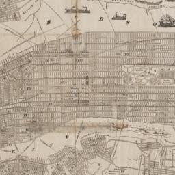
3. Map of the City of New York
W.C. Rogers & Co
maps
- Name: W.C. Rogers & Co
- Published: s.n.]: New York. 1868
- Format: maps
- Online: click here for full-text
- Catalog Record: check availability
4. Map of the consolidated City of Brooklyn : comprising the City of Brooklyn, City of Williamsburgh and Town of Bushwick, Kings County, Long Island
Hayward, George, approximately 1800-
maps
- Name: Hayward, George, approximately 1800-
- Published: G. Hayward: New York. 1854
- Format: maps
- Online: click here for full-text
- Catalog Record: check availability
5. New map of New York City : from the latest authentic surveys, showing all ferries, and all steamship docks both foreign and coastwise lines
Rand McNally and Company
maps
- Name: Rand McNally and Company
- Published: Rand, McNally & Co: Chicago. [1892]
- Format: maps
- Catalog Record: check availability
6. New map of New York City : from the latest surveys showing all the ferries and steamship docks, elevated, cable, and cross town car lines
Brooks Bank Note Co
maps
- Name: Brooks Bank Note Co
- Published: Broadway Central Hotel, Tilly Haynes, proprietor: New York. [189-?]
- Format: maps
- Online: click here for full-text
- Catalog Record: check availability

7. New York City
maps
- Published: s.n: New York?. 1896?]
- Format: maps
- Online: click here for full-text
- Catalog Record: check availability
8. New York city map
Phelps, Humphrey, active 19th century
maps
- Name: Phelps, Humphrey, active 19th century
- Published: H. Phelps: New York. c1857
- Format: maps
- Online: click here for full-text
- Catalog Record: check availability
9. Plan of New York &c
Mitchell, S. Augustus, Jr
maps
- Name: Mitchell, S. Augustus, Jr
- Published: S. Augustus Mitchell, Jr: Philadelphia. 1860
- Format: maps
- Online: click here for full-text
- Catalog Record: check availability
Search Other Sources for: "Ferries New York (State) New York Maps."
Try your search in one of these related resources. (Search results will display in a new window.)
-
Avery Index to Architectural Periodicals
A comprehensive listing of journal articles published worldwide on architecture and design, archaeology, city planning, interior design, landscape architecture, and historic preservation. -
Brooklyn Historical Society Photography Collection
Search for individual photographs. Approximately 5,000 of our images are currently available online, but more images are added regularly. -
Brooklyn Public Library: Historic Brooklyn Photographs
Selection of more than ten thousand historic photographs from the Brooklyn Collection. -
CLIO: Columbia Libraries Catalog
Search for books, articles, journals, online resources and more. -
DLC: Columbia Libraries Digital Collections
A gateway to digital projects and online exhibitions that have been published on the web by Columbia University Libraries/Information Services (CUL/IS). -
Museum of the City of New York
Over 150,000 images and objects from the collections of the Museum of the City of New York.
Note: to come. -
New York Historical Society
Digital images from the library and museum collections. -
NYPL Digital Collections
Provides free and open access to over 800,000 images digitized from the The New York Public Library's vast collections.