Search Results Header
Search Results
Notice: Access to some items may be restricted because of copyright. Members of the Columbia Community can log in and learn about the Terms of Use.
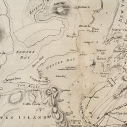
1. [Map of Manhattan, Brooklyn, Staten Island, Long Island, and New Jersey with references to the Battle on Long Island]
Lewis, Samuel, 1753 or 1754-1822
- Collection Name: Seymour B. Durst Old York Library Collection
- Date: 18--?]
- Item in Context: https://dlc.library.columbia.edu/durst/cul:pnvx0k6dmg
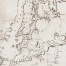
2. A Plan of New York Island, Part of Long Island, &c. shewing the Position of the American and British Armies, before, at, and after the Engagement of the Heights, August 27th, 1776
Lewis, Samuel, 1753 or 1754-1822
- Name: Lewis, Samuel, 1753 or 1754-1822
- Collection Name: Seymour B. Durst Old York Library Collection
- Date: 1806
- Item in Context: https://dlc.library.columbia.edu/durst/cul:q2bvq83bnq