Search Results Header
Search Results

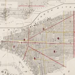
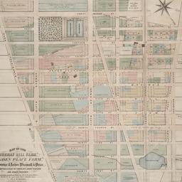
73. Map of the City of New York
W.C. Rogers & Co
maps
- Name: W.C. Rogers & Co
- Published: s.n.]: New York. 1868
- Format: maps
- Online: click here for full-text
- Catalog Record: check availability

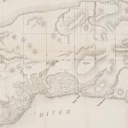
74. Map of the City of New York : shewing the original high water ine and the location of the different farms and estates
Hayward, George, approximately 1800-
maps
- Name: Hayward, George, approximately 1800-
- Published: New York Common Council: New York. 1852]
- Format: maps
- Online: click here for full-text
- Catalog Record: check availability
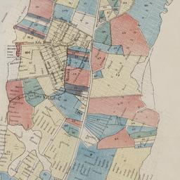
75. Map of the City of New York, 1856
Hayward, George, approximately 1800-
maps
- Name: Hayward, George, approximately 1800-
- Published: New York Common Council: New York. 1856]
- Format: maps
- Online: click here for full-text
- Catalog Record: check availability
76. Map of the City of New York, from the Battery to 80th Street, showing the original topography of Manhattan Island
Viele, Egbert L. 1825-1902
maps
- Name: Viele, Egbert L. 1825-1902
- Published: s.n: New York. 1866?]
- Format: maps
- Online: click here for full-text
- Catalog Record: check availability
77. Map of the city of New York showing the original high water lines and the location of the different farms and estates
Hayward, George, approximately 1800-
maps
- Name: Hayward, George, approximately 1800-
- Published: Common Council: New York. 1852]
- Format: maps
- Online: click here for full-text
- Catalog Record: check availability
78. Map of the city of New York showing the proposed route of the "arcade" underground railway
maps
- Published: G.W. & C.B. Colton: New York. [1870?]
- Format: maps
- Online: click here for full-text
- Catalog Record: check availability
79. Map of the City of New-York
Hayward, George, approximately 1800-
maps
- Name: Hayward, George, approximately 1800-
- Published: Common Council, 1854]: New York. 1854
- Format: maps
- Online: click here for full-text
- Catalog Record: check availability
80. Map of the city of New-York, 1853
Hayward, George, approximately 1800-
maps
- Name: Hayward, George, approximately 1800-
- Published: Common Council: New York, N.Y. 1853]
- Format: maps
- Online: click here for full-text
- Catalog Record: check availability
81. Map of the consolidated City of Brooklyn : comprising the City of Brooklyn, City of Williamsburgh and Town of Bushwick, Kings County, Long Island
Hayward, George, approximately 1800-
maps
- Name: Hayward, George, approximately 1800-
- Published: G. Hayward: New York. 1854
- Format: maps
- Online: click here for full-text
- Catalog Record: check availability

82. Map of the five cities of New York, Brooklyn, Jersey City, Hoboken & Hudson City
Dripps, M
maps
- Name: Dripps, M
- Published: M. Dripps: New York?. 1860
- Format: maps
- Online: click here for full-text
- Catalog Record: check availability
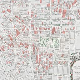
83. Map of the Greenwich Village section of New York City
Fahey, Lawrence
maps
- Name: Fahey, Lawrence
- Published: Lawrence Fahey: New York, N.Y. 1961
- Format: maps
- Online: click here for full-text
- Catalog Record: check availability
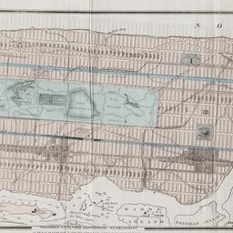
84. Map of the lands included in the Central Park
Viele, Egbert L. 1825-1902
maps
- Name: Viele, Egbert L. 1825-1902
- Published: s.n.]: New York. 1856
- Format: maps
- Online: click here for full-text
- Catalog Record: check availability
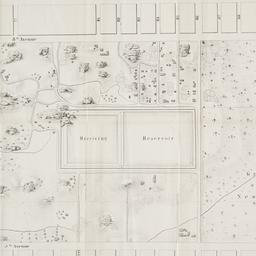
85. Map of the "Murray Hill Farm," "Ogden Place Farm," Lawrence & Astor, Wiswall & Price, Corporation, Wm. Wright, John Taylor and other property
Holmes, J. B
maps
- Name: Holmes, J. B
- Published: City Surveyor: New York. 1867]
- Format: maps
- Online: click here for full-text
- Catalog Record: check availability

86. Map shewing a division of part of the real estate late of Nicholas W. Stuyvesant decd. among his heirs situated in the 11th Ward of the City of New York
Doughty, Saml. S
maps
- Name: Doughty, Saml. S
- Published: Miller & Co. Lithog: New York. 1834 May
- Format: maps
- Online: click here for full-text
- Catalog Record: check availability
87. [Map showing area bounded by Tompkins Street and 3rd Avenue between 23rd and 9th Streets]
maps
- Published: s.n: New York?. 18--?]
- Format: maps
- Online: click here for full-text
- Catalog Record: check availability
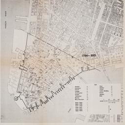
88. [Maps of land use in Lower Manhattan from 1609-1900]
maps
- Published: s.n: New York?. 19--]
- Format: maps
- Online: click here for full-text
- Catalog Record: check availability
![[Maps of Manhattan]](https://archive.org/services/img/ldpd_11290413_000)
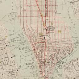
89. [Maps of Manhattan]
maps
- Published: s.n: New York?. ca. 1890]
- Format: maps
- Online: click here for full-text
- Catalog Record: check availability

90. The metropolis and its surroundings showing Staten Island and the New Baltimore and Ohio railroad line to New York directly connecting with all the elevated railways in the City and most convenient to every route in and through New York and Brooklyn
maps
- Published: s.n: New York?. 1885?]
- Format: maps
- Online: click here for full-text
- Catalog Record: check availability
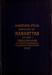
91. Miniature atlas of the borough of Manhattan : complete in two volumes
Hyde, E. Belcher
maps
- Name: Hyde, E. Belcher
- Published: E. Belcher Hyde: Brooklyn. 1912
- Format: maps
- Online: click here for full-text
- Catalog Record: check availability

92. Miniature atlas of the borough of Manhattan : in one volume
Hyde, E. Belcher
maps
- Name: Hyde, E. Belcher
- Published: Hyde: Brooklyn. 1912
- Format: maps
- Online: click here for full-text
- Catalog Record: check availability

93. Miniature atlas of the borough of the Bronx complete in two volumes
E. Belcher Hyde (Firm)
maps
- Name: E. Belcher Hyde (Firm)
- Published: E. Belcher Hyde: Brooklyn. 1912
- Format: maps
- Online: click here for full-text
- Catalog Record: check availability
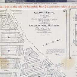
94. Nelson Heights at Woodside in the Second Ward, borough of Queens, New York City
maps
- Published: William Kennely, Inc: New York. [1926]
- Format: maps
- Online: click here for full-text
- Catalog Record: check availability
95. New map of New York City : from the latest surveys showing all the ferries and steamship docks, elevated, cable, and cross town car lines
Brooks Bank Note Co
maps
- Name: Brooks Bank Note Co
- Published: Broadway Central Hotel, Tilly Haynes, proprietor: New York. [189-?]
- Format: maps
- Online: click here for full-text
- Catalog Record: check availability

96. A new map of the City of New York : comprising all the late improvements, compiled and corrected from authentic documents, designed to accompany the Description of New York
Marks, Samuel
maps
- Name: Marks, Samuel
- Published: S. Marks: New York. 1827
- Format: maps
- Online: click here for full-text
- Catalog Record: check availability