Search Results Header
Search Results
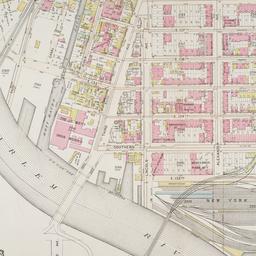
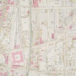
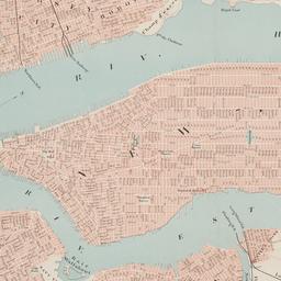
121. Part of ward 23, section 9
maps
- Published: G.W. Bromley and Co: Philadelphia. 1897]
- Format: maps
- Online: click here for full-text
- Catalog Record: check availability
122. Part of ward 23, sections 9 & 10
maps
- Published: G.W. Bromley and Co: Philadelphia. 1897]
- Format: maps
- Online: click here for full-text
- Catalog Record: check availability
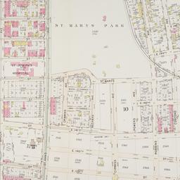
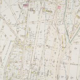
123. Part of ward 23, sections 9 & 10
maps
- Published: G.W. Bromley and Co: Philadelphia. 1897]
- Format: maps
- Online: click here for full-text
- Catalog Record: check availability
124. Part of ward 23, sections 9 & 10
maps
- Published: G.W. Bromley and Co: Philadelphia. 1897]
- Format: maps
- Online: click here for full-text
- Catalog Record: check availability
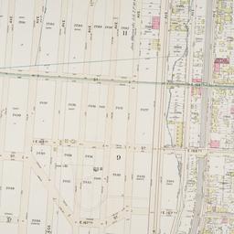
125. Part of ward 23, sections 9 & 10
maps
- Published: G.W. Bromley and Co: Philadelphia. 1897]
- Format: maps
- Online: click here for full-text
- Catalog Record: check availability
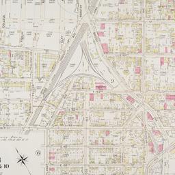
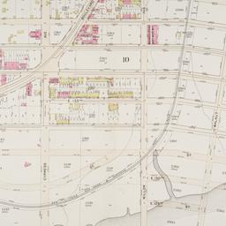
126. Part of ward 23, sections 9 & 11
maps
- Published: G.W. Bromley and Co: Philadelphia. 1897]
- Format: maps
- Online: click here for full-text
- Catalog Record: check availability
127. Part of ward 23, sections 9, 10, & 11
maps
- Published: G.W. Bromley and Co: Philadelphia. 1897]
- Format: maps
- Online: click here for full-text
- Catalog Record: check availability
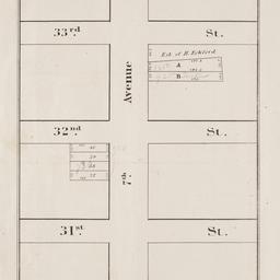
128. Peremptory sale of valuable real estate : by Halliday & Jenkins on Tuesday, February 18th, 1845, at twelve o'clock at the Merchants' Exchange
maps
- Published: P. Miller: New York. 1845
- Format: maps
- Online: click here for full-text
- Catalog Record: check availability
129. Plan de New-York (Etats-Unis)
maps
- Published: Becquet: Paris. [188-?]
- Format: maps
- Online: click here for full-text
- Catalog Record: check availability
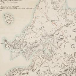
130. Plan des redoutes et des lignes que les ennemis avoient auprès de Brookland, de ceux de Redhook, et l"isle de Gouveurner
Riepe, G
maps
- Name: Riepe, G
- Published: s.n: S.l. 187-?]
- Format: maps
- Online: click here for full-text
- Catalog Record: check availability
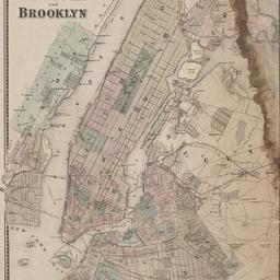
131. Plan of New York and Brooklyn
maps
- Published: s.n: S.l. 186-?]
- Format: maps
- Online: click here for full-text
- Catalog Record: check availability
132. Plan of New York &c
Mitchell, S. Augustus, Jr
maps
- Name: Mitchell, S. Augustus, Jr
- Published: S. Augustus Mitchell, Jr: Philadelphia. c1866
- Format: maps
- Online: click here for full-text
- Catalog Record: check availability
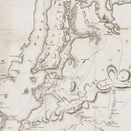
133. A Plan of New York Island, Part of Long Island, &c. shewing the Position of the American and British Armies, before, at, and after the Engagement of the Heights, August 27th, 1776
Lewis, Samuel, 1753 or 1754-1822
maps
- Name: Lewis, Samuel, 1753 or 1754-1822
- Published: Richard Phillips: London?. 1806
- Format: maps
- Online: click here for full-text
- Catalog Record: check availability
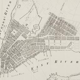
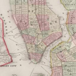
134. Plan of the city of New York
maps
- Published: Andrew B. Graham, Co: Washington, D.C. 1857
- Format: maps
- Online: click here for full-text
- Catalog Record: check availability

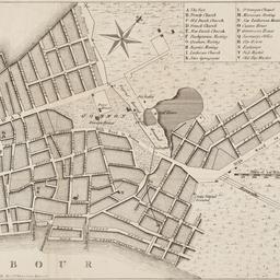
135. Plan of the city of New York
Poppleton, Thomas H
maps
- Name: Poppleton, Thomas H
- Published: Prior & Dunning: New York. 1817
- Format: maps
- Online: click here for full-text
- Catalog Record: check availability
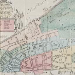
136. A plan of the city of New York : reduced from an actual survey
Maerschalck, Francis W., -1776
maps
- Name: Maerschalck, Francis W., -1776
- Published: Lith. of H.R. Robinson for D.T. Valentine's Manual: New York, N.Y. [1850]
- Format: maps
- Online: click here for full-text
- Catalog Record: check availability
137. A plan of the city of New York from an actual survey
Lyne, James
maps
- Name: Lyne, James
- Published: Charles Magnus: New York?. [18--?]
- Format: maps
- Online: click here for full-text
- Catalog Record: check availability
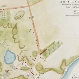
138. A plan of the north east environs of the city of New-York performed by order of His Excellency the Earl of Loudon & ca. & ca
Holland, Samuel, 1728-1801
maps
- Name: Holland, Samuel, 1728-1801
- Published: George Hayward: New York. [1859]
- Format: maps
- Online: click here for full-text
- Catalog Record: check availability
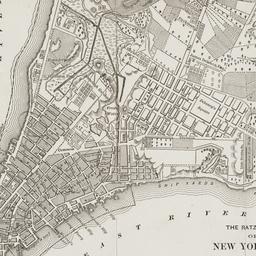
139. The Ratzer map of New York City, 1767
maps
- Published: Longmans, Green & Co: New York?. 18--?]
- Format: maps
- Online: click here for full-text
- Catalog Record: check availability
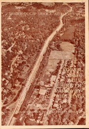
140. Saw Mill River Parkway widening in relation to New York City parkway system Triborough Bridge Authority
Triborough Bridge Authority
maps
- Name: Triborough Bridge Authority
- Published: Triborough Bridge Authority: New York. [1940]
- Format: maps
- Online: click here for full-text
- Catalog Record: check availability
141. Sherwood Park, Long Island being a sectional reprint from the Map of the Village of Queens, as surveyed by Mr. Geo. W. Dickerson
maps
- Published: Sherwood Land Association: New York. [18--?]
- Format: maps
- Catalog Record: check availability
142. This map of the city of New York and island of Manhattan, as laid out by the commissioners appointed by the legislature, April 3d, 1807 is respectfully dedicated to the mayor, aldermen and commonalty thereof
Bridges, William, -1814
maps
- Name: Bridges, William, -1814
- Published: s.n.]: New York. 1811
- Format: maps
- Online: click here for full-text
- Catalog Record: check availability
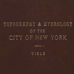
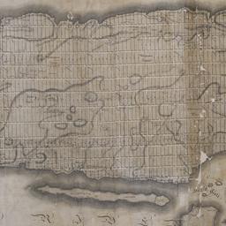
143. Topographical map of the City of New York showing original water courses and made land
Viele, Egbert L. 1825-1902
maps
- Name: Viele, Egbert L. 1825-1902
- Published: Ferd. Mayer & Co. lith: New York. c1865
- Format: maps
- Catalog Record: check availability
144. The Transval of New York
Viele, Egbert L. 1825-1902
maps
- Name: Viele, Egbert L. 1825-1902
- Published: Johnson & Co., printers: New York. 1880]
- Format: maps
- Online: click here for full-text
- Catalog Record: check availability