Search Results Header
Search Results
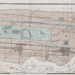
1. Map of the city of New York showing the proposed route of the "arcade" underground railway
maps
- Published: G.W. & C.B. Colton: New York. [1870?]
- Format: maps
- Online: click here for full-text
- Catalog Record: check availability
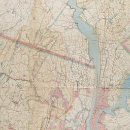
2. Map of the Passaic and Croton water-sheds, water courses, storage reservoirs and sources of supply for the cities, towns, & villages within a radius of 50 miles from the City of New York
Bartlett, John Russell, 1805-1886
maps
- Name: Bartlett, John Russell, 1805-1886
- Published: J.R. Bartlett: New York. c1888
- Format: maps
- Online: click here for full-text
- Catalog Record: check availability
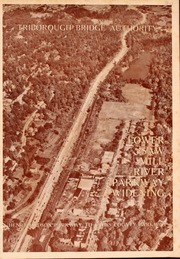
3. Saw Mill River Parkway widening in relation to New York City parkway system Triborough Bridge Authority
Triborough Bridge Authority
maps
- Name: Triborough Bridge Authority
- Published: Triborough Bridge Authority: New York. [1940]
- Format: maps
- Online: click here for full-text
- Catalog Record: check availability