Search Results Header
Search Results
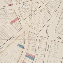
1. [Broad Street to Water Street south of Wall Street]
maps
- Published: s.n: New York?. 18--?]
- Format: maps
- Online: click here for full-text
- Catalog Record: check availability
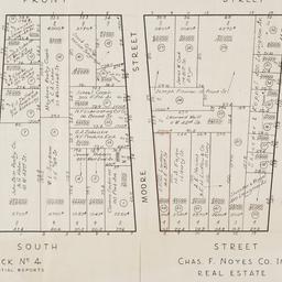
2. [Cadastral map of the area bound by South Street and Front Street between Whitehall Street and Broad Street]
maps
- Published: Chas. F. Noyes Co: New York. 1931?]
- Format: maps
- Online: click here for full-text
- Catalog Record: check availability
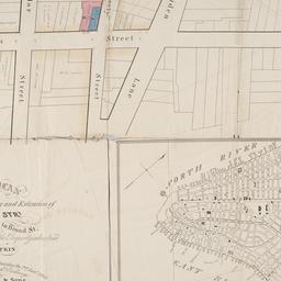
3. Map & plan of the proposed continuation of the widening & extension of William Street : from Maiden Lane to Chatham Street & the new line of said strt. as adopted between Wall St. & Maiden Lane, showing the situation of the property advertised by John R. Pitkin (No. 5 Broad Strt.)
maps
- Published: [publisher not identified]: N.Y.?. [183-?
- Format: maps
- Online: click here for full-text
- Catalog Record: check availability
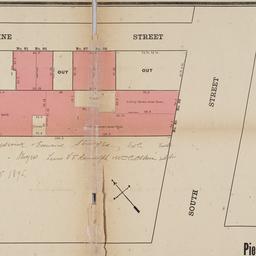
4. [Map of the area in Lower Manhattan bound by Pine Street, South Street, Wall Street and Front Street]
maps
- Published: s.n: New York?. 1895?]
- Format: maps
- Online: click here for full-text
- Catalog Record: check availability