Search Results Header
Search Results
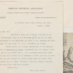
1. A part of Roggeveen's map of New Netherland, Amsterdam, 1676
Roggeveen, Arent, -1679
maps
- Name: Roggeveen, Arent, -1679
- Published: Bowen & Co: Philad[elphi]a. [19--]
- Format: maps
- Online: click here for full-text
- Catalog Record: check availability
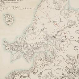
2. Plan des redoutes et des lignes que les ennemis avoient auprès de Brookland, de ceux de Redhook, et l"isle de Gouveurner
Riepe, G
maps
- Name: Riepe, G
- Published: s.n: S.l. 187-?]
- Format: maps
- Online: click here for full-text
- Catalog Record: check availability
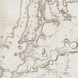
3. A Plan of New York Island, Part of Long Island, &c. shewing the Position of the American and British Armies, before, at, and after the Engagement of the Heights, August 27th, 1776
Lewis, Samuel, 1753 or 1754-1822
maps
- Name: Lewis, Samuel, 1753 or 1754-1822
- Published: Richard Phillips: London?. 1806
- Format: maps
- Online: click here for full-text
- Catalog Record: check availability