Search Results Header
Search Results
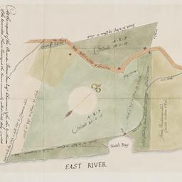
1. At the request of the recorder Thomas Jones Esqr. chairman, & the other gentlemen of the committee, I have surveyed the farm commonly called Tuttle Bay, granted by William Keist 23d of April 1646. unto George Holmes & Thomas Hall, and find the same to be agreeable to the above draft
Maerschalck, Francis W., -1776
maps
- Name: Maerschalck, Francis W., -1776
- Published: Common Council?: New York?. 1860?]
- Format: maps
- Online: click here for full-text
- Catalog Record: check availability
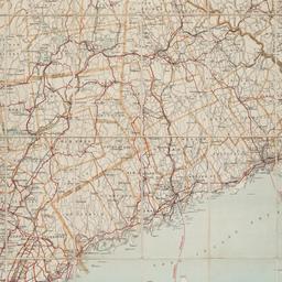
2. Automobile map of Hudson River district south
maps
- Published: Geo. H. Walker & Co: Boston. c1907
- Format: maps
- Online: click here for full-text
- Catalog Record: check availability
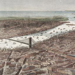
3. Bird's-eye view of the southern end of New York and Brooklyn, showing the projected suspension-bridge over the East River, from the western terminus in Printing-House Square, New York
Davis, Theodore R
maps
- Name: Davis, Theodore R
- Published: New York. 1870]
- Format: maps
- Online: click here for full-text
- Catalog Record: check availability
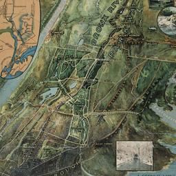
4. A general view of the Bronx River Parkway Reservation : as a connecting parkway between the park system of New York City, the Croton and Catskill watersheds, and the Harriman and Palisades Interstate Parks
New York (State). Bronx Parkway Commission
maps
- Name: New York (State). Bronx Parkway Commission
- Published: Bronx Parkway Commission: New York. 1915
- Format: maps
- Online: click here for full-text
- Catalog Record: check availability
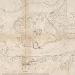
5. Hell Gate and its approaches
United States Coast Survey
maps
- Name: United States Coast Survey
- Published: U.S. Coast Survey: Washington. 1853
- Format: maps
- Online: click here for full-text
- Catalog Record: check availability

6. Hunters Point, part of Long Island City
maps
- Published: Beers, Comstock & Cline: N.Y. 1873]
- Format: maps
- Online: click here for full-text click here for full-text
- Catalog Record: check availability
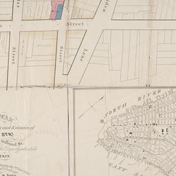
7. Map & plan of the proposed continuation of the widening & extension of William Street : from Maiden Lane to Chatham Street & the new line of said strt. as adopted between Wall St. & Maiden Lane, showing the situation of the property advertised by John R. Pitkin (No. 5 Broad Strt.)
maps
- Published: [publisher not identified]: N.Y.?. [183-?
- Format: maps
- Online: click here for full-text
- Catalog Record: check availability
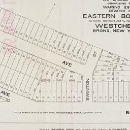
8. Map of 105 choice lots comprising the Waring Estate situated on Eastern Boulevard between Tremont Ave and Fort Schuyler Road Westchester Bronx, New York City
maps
- Published: s.n: New York. 1906]
- Format: maps
- Online: click here for full-text
- Catalog Record: check availability
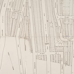
9. Map of 500 lots of the estate of James Cordon Bennett, dec'd, located between Broadway and N.Y. Central and Hudson River, RR. and between W. 181st and W. 187th Streets borough of Manhattan City of New York
maps
- Published: s.n: New York. 1919]
- Format: maps
- Online: click here for full-text
- Catalog Record: check availability
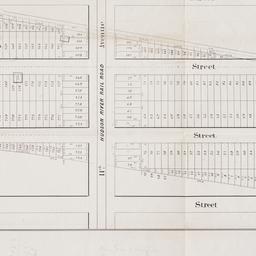
10. [Map of 50th Street to 53rd Street between 10th Avenue and 13th Avenue]
maps
- Published: s.n: New York?. 1851?]
- Format: maps
- Online: click here for full-text
- Catalog Record: check availability

11. Map of 58 lots belonging to the Griswold Estate fronting on the continuation of Riverside Drive known as Fieldston Road and situated between Broadway and Riverdale Avenue, W. 246th Street and W. 253rd Street
maps
- Published: s.n: New. 1910]
- Format: maps
- Online: click here for full-text
- Catalog Record: check availability
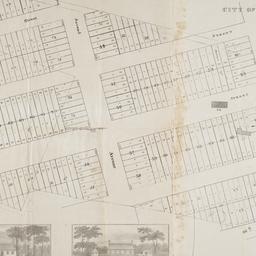
12. Map of Prospect Hill late the seat of Francis B. Winthrop, Esqr., in the Twelfth Ward in the city of New York
maps
- Published: Lambert's Lithography: New York. [1879?]
- Format: maps
- Online: click here for full-text
- Catalog Record: check availability

13. Map of the bays, harbors, and rivers around New York : showing the channels, soundings, lighthouses, buoys &c., and the complete topography of the surrounding country : including Hempstead, Sandy-Hook, South-Amboy, Newark, Yonkers, N. Rochelle & Glen Cove
Bache, A. D. 1806-1867
maps
- Name: Bache, A. D. 1806-1867
- Published: M. Dripps: New York. [1866]
- Format: maps
- Catalog Record: check availability
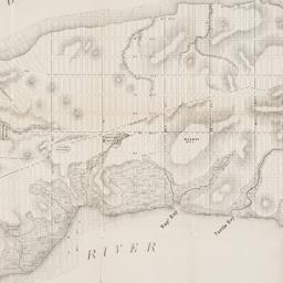
14. Map of the City of New York, from the Battery to 80th Street, showing the original topography of Manhattan Island
Viele, Egbert L. 1825-1902
maps
- Name: Viele, Egbert L. 1825-1902
- Published: s.n: New York. 1866?]
- Format: maps
- Online: click here for full-text
- Catalog Record: check availability
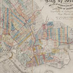
15. Map of the consolidated City of Brooklyn : comprising the City of Brooklyn, City of Williamsburgh and Town of Bushwick, Kings County, Long Island
Hayward, George, approximately 1800-
maps
- Name: Hayward, George, approximately 1800-
- Published: G. Hayward: New York. 1854
- Format: maps
- Online: click here for full-text
- Catalog Record: check availability
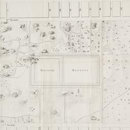
16. Map of the lands included in the Central Park
Viele, Egbert L. 1825-1902
maps
- Name: Viele, Egbert L. 1825-1902
- Published: s.n.]: New York. 1856
- Format: maps
- Online: click here for full-text
- Catalog Record: check availability
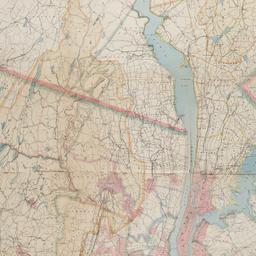
17. Map of the Passaic and Croton water-sheds, water courses, storage reservoirs and sources of supply for the cities, towns, & villages within a radius of 50 miles from the City of New York
Bartlett, John Russell, 1805-1886
maps
- Name: Bartlett, John Russell, 1805-1886
- Published: J.R. Bartlett: New York. c1888
- Format: maps
- Online: click here for full-text
- Catalog Record: check availability
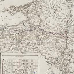
18. Map of the State of New York : with the latest improvements showing all the canals, railroads, &c
maps
- Published: J. Disturnell: New York. 1836
- Format: maps
- Online: click here for full-text
- Catalog Record: check availability
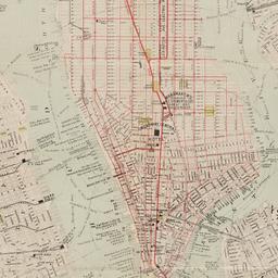
19. New map of New York City : from the latest surveys showing all the ferries and steamship docks, elevated, cable, and cross town car lines
Brooks Bank Note Co
maps
- Name: Brooks Bank Note Co
- Published: Broadway Central Hotel, Tilly Haynes, proprietor: New York. [189-?]
- Format: maps
- Online: click here for full-text
- Catalog Record: check availability
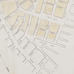
20. New-York, April 1852 drawn on an enlarged scale from map of district burnt by great fire of 16th Dec. 1835, as published in the Journal of Commerce Dec. 18th, 1835
maps
- Published: s.n: New York?. 1852?]
- Format: maps
- Online: click here for full-text
- Catalog Record: check availability
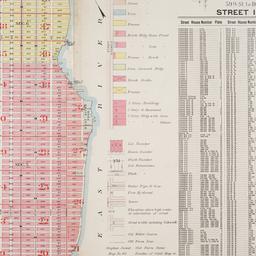
21. Outline and index map of volume three, atlas of New York City, borough of Manhattan 59th St. to 110th St
maps
- Published: G.W. Bromley & Co: New York?. 1916?]
- Format: maps
- Online: click here for full-text
- Catalog Record: check availability
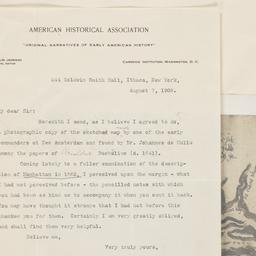
22. A part of Roggeveen's map of New Netherland, Amsterdam, 1676
Roggeveen, Arent, -1679
maps
- Name: Roggeveen, Arent, -1679
- Published: Bowen & Co: Philad[elphi]a. [19--]
- Format: maps
- Online: click here for full-text
- Catalog Record: check availability
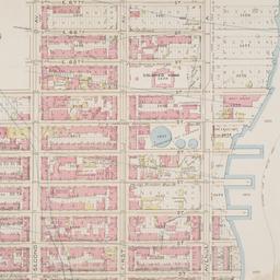
23. Part of Section 5, New York City
maps
- Published: s.n: New York?. 1891?]
- Format: maps
- Online: click here for full-text
- Catalog Record: check availability
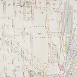
24. Part of ward 23, section 9
maps
- Published: G.W. Bromley and Co: Philadelphia. 1897]
- Format: maps
- Online: click here for full-text
- Catalog Record: check availability