Search Results Header
Search Results
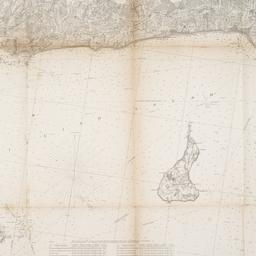
1. Eastern part of Long Island Sound
United States Coast Survey
maps
- Name: United States Coast Survey
- Published: U.S.C. & G.S: Washington, D.C. 1855
- Format: maps
- Online: click here for full-text
- Catalog Record: check availability
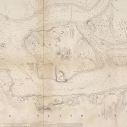
2. Hell Gate and its approaches
United States Coast Survey
maps
- Name: United States Coast Survey
- Published: U.S. Coast Survey: Washington. 1853
- Format: maps
- Online: click here for full-text
- Catalog Record: check availability

3. Map of the bays, harbors, and rivers around New York : showing the channels, soundings, lighthouses, buoys &c., and the complete topography of the surrounding country : including Hempstead, Sandy-Hook, South-Amboy, Newark, Yonkers, N. Rochelle & Glen Cove
Bache, A. D. 1806-1867
maps
- Name: Bache, A. D. 1806-1867
- Published: M. Dripps: New York. [1866]
- Format: maps
- Catalog Record: check availability
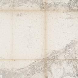
4. Middle part of Long Island Sound
United States Coast Survey
maps
- Name: United States Coast Survey
- Published: U.S.C. & G.S: Washington, D.C. 1855
- Format: maps
- Online: click here for full-text
- Catalog Record: check availability
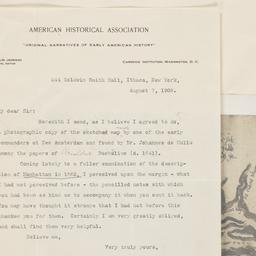
5. A part of Roggeveen's map of New Netherland, Amsterdam, 1676
Roggeveen, Arent, -1679
maps
- Name: Roggeveen, Arent, -1679
- Published: Bowen & Co: Philad[elphi]a. [19--]
- Format: maps
- Online: click here for full-text
- Catalog Record: check availability